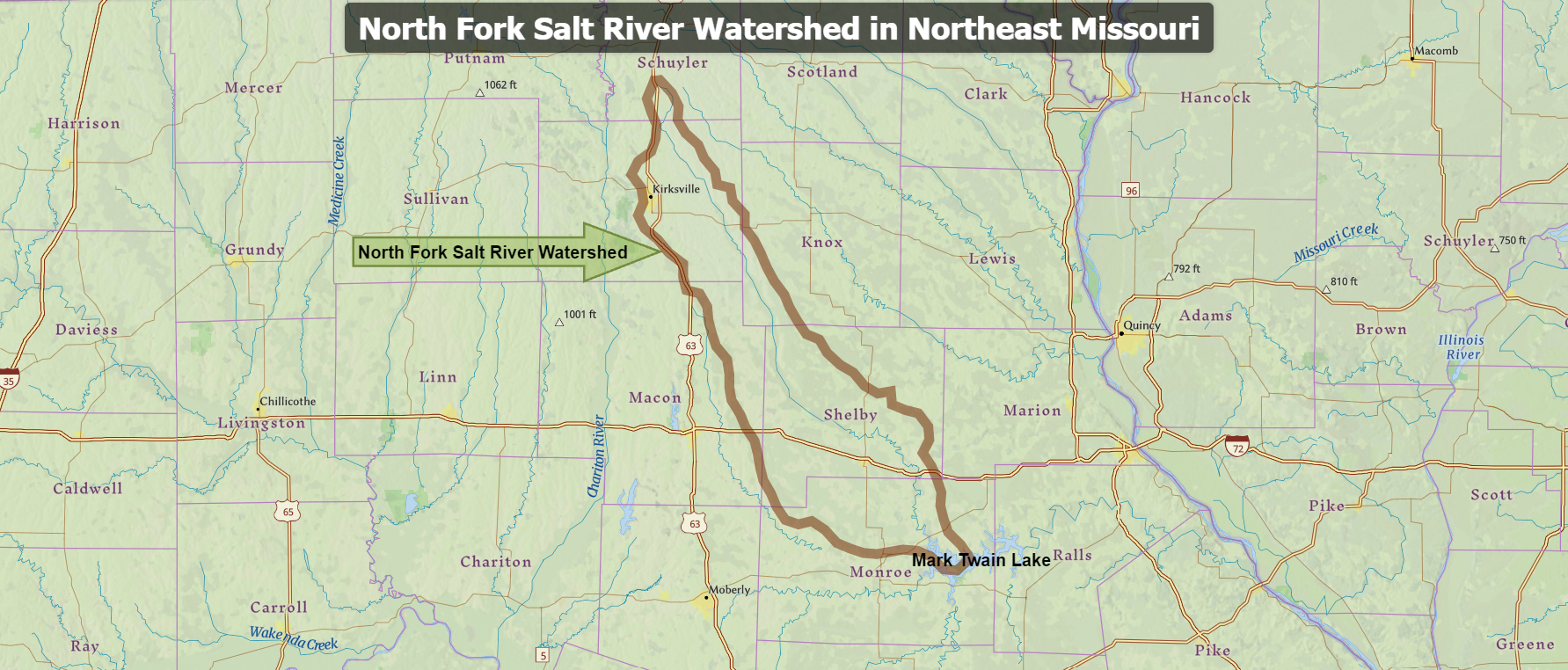
The Salt River Watershed in Northeast Missouri:
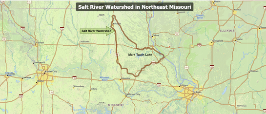
The Salt River Watershed in northeast Missouri includes three HUC-8 watersheds, the North Fork Salt, South Fork Salt, and Salt River watersheds.
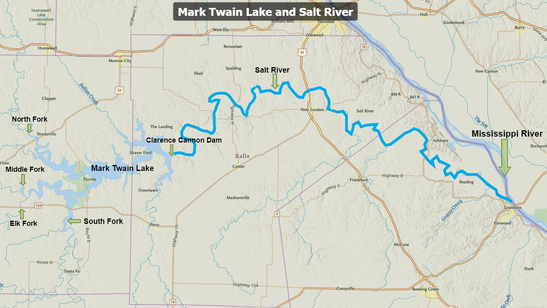
The tributaries of the Salt River join at Mark Twain Lake. The Clarence Cannon Dam was completed in 1984, impounding the Salt River and creating a 18,600 acre reservoir in Monroe and Ralls counties in northeast Missouri.
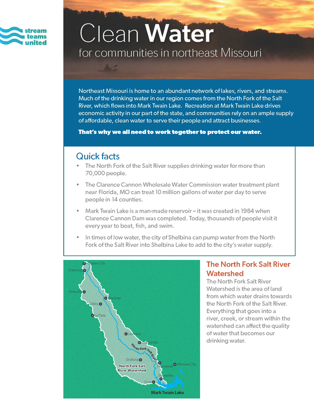
The North Fork Salt River watershed is an important tributary to Mark Twain Lake. It serves as the water supply for the Clarence Cannon Wholesale Water Commission's drinking water treatment plant, which treats water for distribution to people in 14 counties in northeast Missouri. The North Fork Salt River Watershed is approximately 894 square miles in size and includes parts of six counties in northeast Missouri: Schuyler, Adair, Knox, Macon, Shelby, and Monroe. This page provides a list of past watershed plans and educational resource tools for this watershed.
North Fork Salt River watershed plans:
Northeast Missouri's Salt River Watershed: a regional water resource
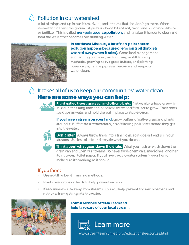
Read more about the watershed in this two page informational sheet:

